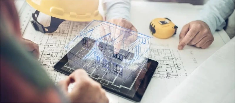
Creating development plans means you need to take care about the use of land, and the road networks. Based on the information provided from the sketches, CAD drawings, previously approved plans and any other documents, we can create development CAD layouts for our clients, with applications in urban and rural planning.
We work closely with you and other key Designers to understand your Town Planning requirements and with our services we shall make the drafting process smooth. We use the best and industry leading tools and software to deliver the top-notch town planning documentation set to the clients.
Get the detailed documentation done for planning the right resources, infrastructure to address your town planning needs
Every Town Planning Drafting has its own set of challenges and requirements associated with it. So, the needs of the client vary when it comes to creating a Town Planning Documentation set. Some of the standard documents we provide as a part of the Town Planning Documentation set are:
A site plan is a readable map or a residential diagram depicting the plot of land on which the house sits, along with landscape topography and any exterior features or structures such as a detached garage, in-ground swimming pool, large trees, fencing, utility poles & power lines, driveways, easements, etc
A report is generated from the site analysis data provided which is usually a graphical sketch, which sets in relation the relevant environmental information such as topography, and built environment
A floor plan is a type of drawing that shows you the layout of a home or property from above. Floor plans typically illustrate the location of walls, windows, doors, & stairs, as well as fixed installations such as bathroom fixtures, kitchen cabinetry, and appliances
A sectional elevation is a combination of a cross section, with elevations of other parts of the building seen beyond the section plane. Geometrically, a cross section is a horizontal orthographic projection of a building on to a vertical plane, with the vertical plane cutting through the building
Perspective view is a view of a three-dimensional image that portrays height, width, and depth for a more realistic image or graphic We can create one based on the exterior dimensions of the buildings in your planning