Introduction
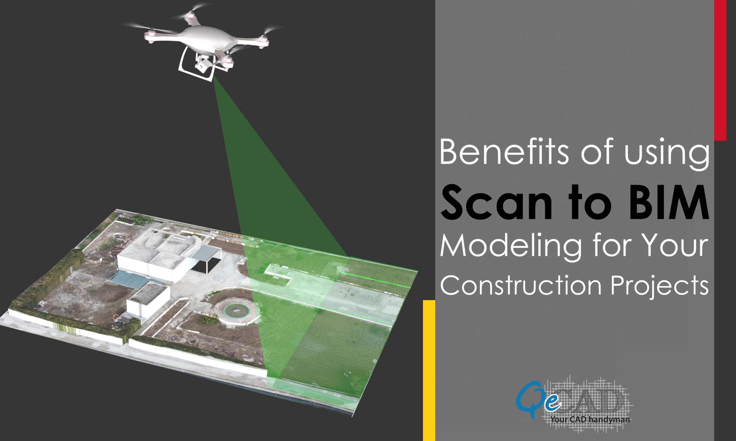
A point cloud is a collection of data points in a 3D coordinate system that represents the geometry and color of an object or structure’s surface. Point cloud data is captured using 3D scanners as a collection of vector points, which are subsequently transformed into precise parametric REVIT models. It is commonly acknowledged that point cloud modeling is more accurate than conventional surveys that employ measuring instruments. Creating point clouds using industrial laser scanners and sensor technologies, such as photogrammetry and lidar (light detection and ranging), is now a common practice.
Point cloud is a technology term for a 3D representation of the spatial coordinates of points in space. Translating that data into BIM model is Point Cloud to BIM.
Point cloud can be used to create as it is building structure in 3D. Point clouds are typically captured using laser scanners, which use infrared light to measure distance from the scanner’s sensor head. Point clouds can be used to create images that provide information about construction costs and time estimates for building projects.
Point cloud data is comprised of raw, digital point features, typically derived from laser scanning or by measuring surfaces using laser scanning.
Point cloud data is comprised of raw, digital point features. These can be derived from laser scanning or by measuring surfaces using laser scanning. The data is typically not processed or edited and therefore retains its integrity as a 3D representation of the spatial coordinates of points in space.
Point clouds are a useful tool for BIM in construction, as they can be used to create 3D models from 2D images. This is because most point cloud tools require heavy processing power and are very expensive.
Industrial laser scanners (ILSRs) use light pulses emitted from a scanner head that scans an area and measures distance information between two points on the ground surface or object being scanned. Lidar uses similar principles as ILSR but instead uses infrared light pulses rather than visible light pulses; therefore, it performs better in low-light conditions such as night time scenes where there isn’t enough ambient illumination available for traditional scanning methods such as photogrammetry or structured light methods like stereo vision systems used by humans during normal day-to-day work activities like walking around offices building sites etcetera.
Selecting the best technology for your application needs will be made easier for you if you are aware of the benefits of employing point cloud data.
The following are some benefits of using Point Cloud to BIM Modeling Services for your construction and maintenance projects:
- Improve Project Management
- Accuracy and Higher Quality
- Improved Collaboration and Communication
- Improved Collaboration and Communication
- Keep an eye on your project
- Work Remotely Together
It is generated by snapping multiple photos at different angles and then processing them, using software like Agisoft PhotoScan Pro or Pix4D.
Point clouds can be used to create images that are more accurate than aerial imagery because they contain more data about each point and therefore require less processing time when creating an image from them.
The model generated from Point clouds can also provide information about construction costs and time estimates for building projects. With this technology, you can generate detailed models of your project in three dimensions (3D) that are accurate down to the millimeter.
Point clouds are also useful when it comes to creating 3D models of existing buildings or structures. This allows architects to better understand how their designs will fit into their environment before they begin construction work onsite in order to avoid any problems down the road during actual construction activities themselves; however there are some concerns regarding security issues related specifically only within specific industries such as healthcare facilities where privacy must always be respected at all times regardless whether someone has entered into those premises before themselves first time ever doing so such thing happens quite often these days because many people nowadays do not know better ways yet come out having learned something valuable from these experiences (especially if we consider ourselves lucky enough because most people don’t get much chance
Conclusion
Point cloud data is a useful tool for project management and construction documentation. Whether you’re trying to visualize a building project, estimate costs or timeframes, or just get an overall idea of how the building is progressing, point cloud data will help you do it more accurately than ever before. Utilize our unmatched Point Cloud Modeling Services to produce precise models of the As-Built environment.
